Tour description
In the northwestern corner of Tajikistan, along the border with Uzbekistan, lay the rugged and beautiful Fann Mountains, a branch of the Western Pamir-Alay Range. They divide the northern territory of the country, in the Fergana Valley, from Dushanbe and the south. It is a compact range, with around 100 stunning peaks, many over 5,000m, and renowned alpine lakes. Famed among nature lovers and mountaineers, these mountains nonetheless see very few visitors, and their natural beauty and cultural treasures have remained virtually unchanged to this day.
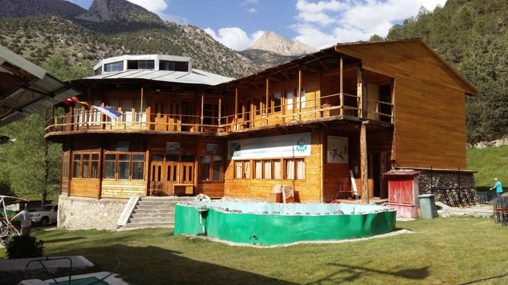
Access is easiest from Penjikent in the northwest or Dushanbe in the south, across high, unforgettable passes with breathtaking views. Ancient Tajik Mountain villages line these routes, whose faithful residents dress traditionally and follow the ways of their ancestors. Authentic “chaikhanas” sit perched over roaring mountain streams, offering “osh” (plov) and tea in Central Asian style, and roadside springs are crowded with locals gathering sparkling glacial water. Herds of sheep and cattle wander the mountainsides and roads, often driven by young boys riding donkeys. Local people are some of the kindest in the world, always ready to welcome the visitor with a warm smile and polite bow; prepare to be invited for tea! If in need of a place to stay, Tajik people never hesitate to open their home to the traveler. Aside from the few vehicles on the main roads, there is little sign of modern life to be found.
The only road from Dushanbe north across the Fanns is on the very good condition. Several enormous tunnels of 5 km or more are being carved out of the bases of several ridges, and will replace the most treacherous and difficult passes. The passes are an exciting experience in themselves, winding steeply up to 3,600 meters on rough dirt roads; there are places where one can look down and see the wrecks of dozens of vehicles (mostly from winter driving). Trip between Dushanbe and Penjikent, and as well from Dushanbe to Khujand takes 4-6 hours.
The Fann Mountains is the country of turquoise lakes, breathtakingly high peaks and ancient legends. You can hardly find such a marvelous place anywhere in the world, with over 30 beautiful mountain lakes and a dozen peaks more than 5,000 m high concentrated on a relatively small area of 650 km2. The picturesque Zindon and Archamaydan valleys, the fabulous beauty of Big Allo Lake surrounded by vertical rocks, splendid Kulikalon, Alaudinand Marguzor Lakes, legendary Iskanderkul Lake, amazing waterfalls and astounding and impressive Chimtarga, Energia, Chapdara and Big Hansa Peaks attract large numbers of trekkers and climbers from around the world. The cleanest streams playing in the sun, soft carpets of grass under the feet and bottomless sky without a single cloud – all this in combination with the inimitable colours of the numerous lakes and the majesty of white-collared peaks will undoubtedly be forever imprinted in a traveller’s memory…
Geographically, the region is a part of the Pamir-Alai mountain system bordered by the Hissar Range on the south, Zeravshan Range on the north, the chain of Marguzor Lakes on the west and the Dushanbe-Ayni Highway on the east. Sometimes the Yagnob Wall (Zamin-Karor Massif) near the village of Margib (Margeb, Mageb), east of the area, is also referred to the Fann Mountains.
The Fann Mountains feature soft climate, with stable sunny weather prevailing throughout summer. Best time for travelling and recreation in the Fann Mountains is between July and September.
The Fann Mountains nine peaks exceeding 5,000 m above sea level. The highest point of the region is Chimtarga Peak (5,489 m). Other 5,000-metre mountains are Big Hansa (5,306 m), Bodkhona (5,138), Mirali (5,132), Chapdara (5,050), Energia (5,120), Zamok (‘Castle’) (5,070), Little Hansa (5,031) and Moscow (5,046).
Lakes numbering 30 plus and contrasting the harsh looking ridges and peaks are true pearls of the area. They vary in type and origin, some of them having been formed through the blocking of narrow mountain valleys with landslides (Iskanderkul, Big Allo and Marguzor Lakes), while others created by glaciers (Kulikalon, Alaudin, Moutiye, Piala, Ziyorat and Chukurak Lakes). Almost all of the Fann lakes are fed by streams.
The region’s largest rivers are the Fandarya with its tributaries, the Pasrud, Yagnob and Iskanderdarya, in the east and the Kshtutdarya formed by the confluence of the Archamaydan, Sarymat, Amshut and Artuch, in the western part of the region. The temperature of water in the rivers ranges from 5°C to 10°C in summer. By the end of summer the level of water in the streams drops perceptibly. Travellers will not find much difficulty in crossing the rivers in the Fann Mountains.
The Fann Mountains are a Mecca for mountaineers and rock climbers, the conquerors of ‘big walls.’ The area is the scene of Russia’s Annual Technical Rock Climbing Championship. Some of the more difficult rocky routes to the summits of Bodkhona (5,138 m), Parandas, Adamtash (4,700), Zamok (5,070), Zindon (4,800), Mirali (5,132), Chapdara (5,050), Dukdon (4,896), Sakharnaya Golova (‘Sugar Head’) (4,971) and Skalnaya Stena (‘Rocky Wall’) are no less complex than the famous walls in the Aksu-Karavshin area of Kyrgyzstan.
One of the Fann Mountains’ pleasant features is that on free days during treks travellers can ascend some of the nearby summits, high but quite easy from the technical aspect, such as three- and four-thousanders Zmeya (‘Snake’) (4,150 m), Fizkultury i Sporta (‘Physical Culture and Sports’) (4,120), Gratuleta (4,230), Chinal with the Fagitor spur (3,900), Paykhamber (4,958) Fluorite (3,450), Ruzeravat (3,700) and others and even five-thousanders Zamok (5,070) and Energia (5,120), from where you can obtain fantastic panoramas.
Local people, Tajik, adhere mostly to old lifestyle, following ancient customs and traditions. The hospitality they treat foreigners with is just unbelievable. Tourists can have a talk with shepherds pasturing their livestock in the Kulikalon depression and Amshut River valley and near Chukurak Lake and drink tea and refreshing yoghurt in their primitive temporary dwellings. Most of the itineraries we offer go via the classical Tajik mountain villages of Yakkakhona, Zimtut, Guytan, Sarytag, Shin and others), where travellers can familiarise themselves with the local lifestyle and ancient traditions.
 Availability: May - September
 Direction: Dushanbe-Penjikent
 Duration: 10 days / 9 nights
 Type of tour: individual, calculation for 2 (2-4 people), for Solo (1 person) +50%
Program of the tour
- ARRIVAL DAY
-
Dushanbe / Samarkand – Penjikent – Artuch
Travelers will picked up from Dushanbe or from the border with Uzbekistan/Samarkand.
Departure to the mountaineering camp Artuch / Penjikent (from Dushanbe-218 km, (4.5 h. drive), however from the border - Samarkand-85 km, 2 h. drive).
These 2 days are indicated for acclimatization, including arriving (meeting) of travelers and small tours to historic and culture places of Penjikent by transport
-
Artuch – Kulikalon Lakes
This day our first day of trekking.
For the next days, we take a porter and one or two mules that will carry our food and some of the equipment.
We will trek via Chuqurak Pass to the lake Kulikalon, which is located at an altitude of 2800 meter. A series of these lakes is located in the Kulikalon basin, around which there are high rock walls that attract many climbers. In the waters of the Kulikalon lakes, the peaks of Maria (4970 m) and Mirali (5170 m) are reflected.
Distance - 8 km, 800 m of climb.
Overnight in tents.
-
Kulikalon Lake – Bibijanat Lake – Alauddin Pass – Alauddin Lakes
Breakfast, camp gathering and start the ascent to the Alauddin pass via Bibijanat Lake (3730 m.). The passage to Bibijanat Lake - the lake is located at an altitude of 2800 mere in the Kulikalon Lakes system.
It is necessary to gain almost 1000 m of altitude. The terrain is simple, but the ascent is protracted and the height presses, complicating the ascent. On the way, we will look at the picturesque Dushakha Lake. The ascent to the pass takes 5-6 hours, the descent to the Alauddin lakes takes 2 hours. These lakes are considered the most beautiful lakes in the Fan Mountains. The water is crystal clear, with a bright blue hue. We set up tents by the lake.
Camping at the lake.
Distance – 8.2 km, 1000 m of climb and 1000 m of altitude drop.
-
Alauddin Lakes – Muddy lakes
In the morning we gather the camp, backpacks and go out towards the Muddy lakes (3430 m.), it is located at the foot of Chimtarga peak. The trail is rocky with a smooth climb. On the way there is another small, but very beautiful and cold lake Piala, where we can swim. We pitch tents near Muddy lakes. It is already cooler here in the evening than below - in the evening the temperature drops to +5 degrees.
Camping at the lake.
Distance – 6.2 km, 730 m of climb.
-
Muddy lakes – foothills of Chimtarga Pass
There are some difficulties in the hike begin. From this place, the cargo that was on the mules is distribute between the backpacks of tourists (or), porters and guides.
This day is not easy – the trail first goes along the scree slope between the stones, we cross small streams several times. With the climb, the terrain becomes harsher, there are glacier exits, we jump over glacial streams. Today's overnight at an altitude of 4500 meters, under the Chimtarga pass. There may be a slight discomfort associated with height. At night, the temperature can drop to -2..-5 degrees.
Camping at the lake.
Distance - 4 km, climb - 1060 m.
-
Chimtarga Foothills – Chimtarga Pass – Bolshoe Allo Lake
Breakfast at the camp, gathering and climbing to the Chimtarga pass (4750 m.), which is located between the peaks of Energy (5105 m.) and Chimtarga (5489 m.).
The pass is not technically difficult, but it is high, the trail is on a talus slope. Beyond the pass, there is a long descent along the talus slopes into the canyon of the Right Zindon River, which will lead us to the Bolshoe Allo Lake (3140 m).
Camping at the lake.
Distance - 8 km, 200 m of climb and 1700 m of altitude drop.
-
Lake Bolshoe Allo - peaks of Energia
This day we will turn to the side of Energy Peaks (5105 m.).
In evening will be back to Bolshoe Allo lake.
Camping at the lake.
Distance - 7 km, 900 m altitude drop.
Lake Bolshoe Allo - Lake Maloe Allo
We will continue on our way after breakfast.
Descent along the Zindon Valley to the valley of the Amshut River. We will build a camp on the bank of the Amshut River (1967 m.) or at the lake Maloe Allo. This evening is the last in the high mountains.
Camping at the lake.
Distance – 5.7 km, 900 m altitude drop.
Maloe Allo Lake – Archamaidon – Dushanbe/Samarqand
Crossing to the confluence of the Amshut and Archamaidon rivers, from where transport will pick us up and take us to the Dushanbe or to the border of Tajikistan / Uzbeksitan (Samarqand).
Distance - 5 km, 600 m altitude drop.
Return to Dushanbe (218 km, 4.5-hour drive) / Samarkand (85 km, 2 hour drive).